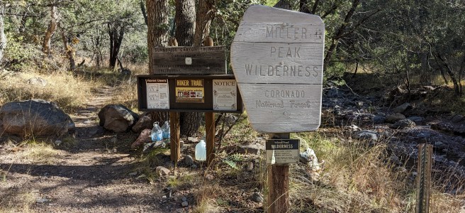
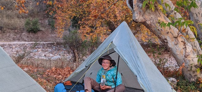
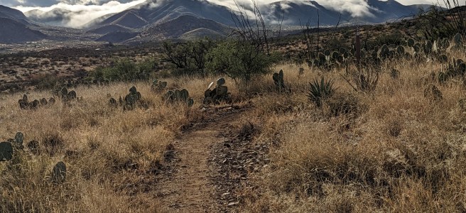
Rock Creek to Guitar Lake We've planned to ramp up slowly for the first couple of days, so there is no real pressure to get moving this morning. The cold temperatures add an additional reason not to be in a rush. So we have a leisurely breakfast before starting to hike mid-morning. Waking up on … Continue reading Acclimating
Welcome to the Sierra Nevada
Horseshoe Meadow to Rock Creek Near Cottonwood Pass After spending the night at the Cottonwood Pass trailhead in Horseshoe Meadow, we started hiking toward the JMT this morning. This is not the closest trailhead to either terminus of the JMT. So, why are we doing this? Because, bureaucracy. And, there are a few advantages... This … Continue reading Welcome to the Sierra Nevada
Getting to the Trail
A JMT hike begins six months in advance with the acquisition of a permit. I'll go into more detail about that process in the next post. But, back in February we got a permit to hike Northbound (Mt Whitney to Happy Isles in Yosemite Valley). After that, it was just a matter of waiting for … Continue reading Getting to the Trail
John Muir Trail
John Muir. Photo by Francis M. Fritz, 1907 The JMT covers about 213 miles through the High Sierra between Yosemite Valley and the summit of Mt Whitney. It overlaps the PCT for 160 miles and passes through many different federal lands including Kings Canyon, Sequoia, and Yosemite National Parks. Elevation is a factor on this … Continue reading John Muir Trail
Day 44. Mexico
Mile 776 - Stealth To Mile 789 - Border Monument 102 First day / last day I wake up yawning, the sun streaming through the windows. I throw my blankets off, and check the clock. 9:00 am. My eyes were open before the alarm, silently waiting. It's dark outside, and cold. A draft seeps from … Continue reading Day 44. Mexico
Day 43. Miller Peak
Mile 755 - Stealth To Mile 776 - Stealth We woke up to ice on the inside of our tents and frozen water bottles. This was probably the coldest night of the trip so far. Between us and the border stands Miller Peak, our final sky island. At over 9000' it is just slightly lower … Continue reading Day 43. Miller Peak
Day 42. TerraSol
Mile 737 - Patagonia To Mile 755 - Stealth We had enough dinners, more than enough, to get to the end from here, but our crazy calorie consumption made us run out of snacks. So we decided to stop in Patagonia, a town 50 miles from the end. Mary, a local, has a hostel arrangement … Continue reading Day 42. TerraSol
Day 41. Patagonia
Mile 725 - Stealth To Mile 737 - Patagonia The AZT originally went right through the small town of Patagonia on a long road section. Recently, however, a new section of trail opened, bypassing the town and eliminating the road section. This was a very welcome update to the route. The new trail section is … Continue reading Day 41. Patagonia
Day 40. Fall Again
Mile 705 - Stealth To Mile 725 - Stealth We continue to move in and out of fall colors depending on elevation as we move south with colder temperatures. Fall colors We're planning a short day tomorrow into town, so it doesn't matter too much where we stop this evening. When we spotted an area … Continue reading Day 40. Fall Again
Day 39. The End is in Sight
Mile 683 - Stealth To Mile 705 - Stealth With our last town stop coming up in a couple of days, we are feeling the end of the trail getting closer. We're in a relatively flat section before one last big climb at the end. So, the hiking feels easy and fun. Because of all … Continue reading Day 39. The End is in Sight


